





























The Viking Way is a 149-mile (239 km) long-distance walking trail running from the Humber estuary down to Oakham in Rutland, passing through South Kesteven. Opened in 1976 and celebrating its 50th anniversary this year, the route traverses the Lincolnshire Wolds, the city of Lincoln, Grantham canal, and the Fens. It gets its name from the historic Norse influence and settlements across the Danelaw.
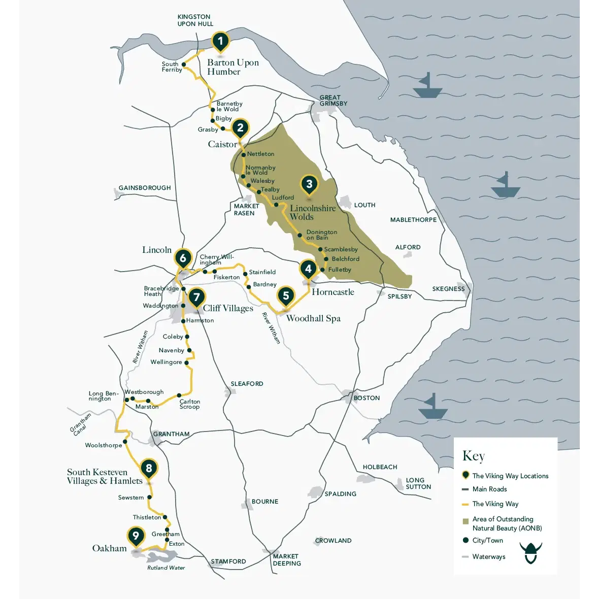
Viking Way Map from Visit Lincolnshire
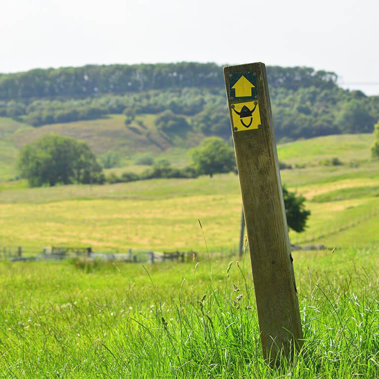
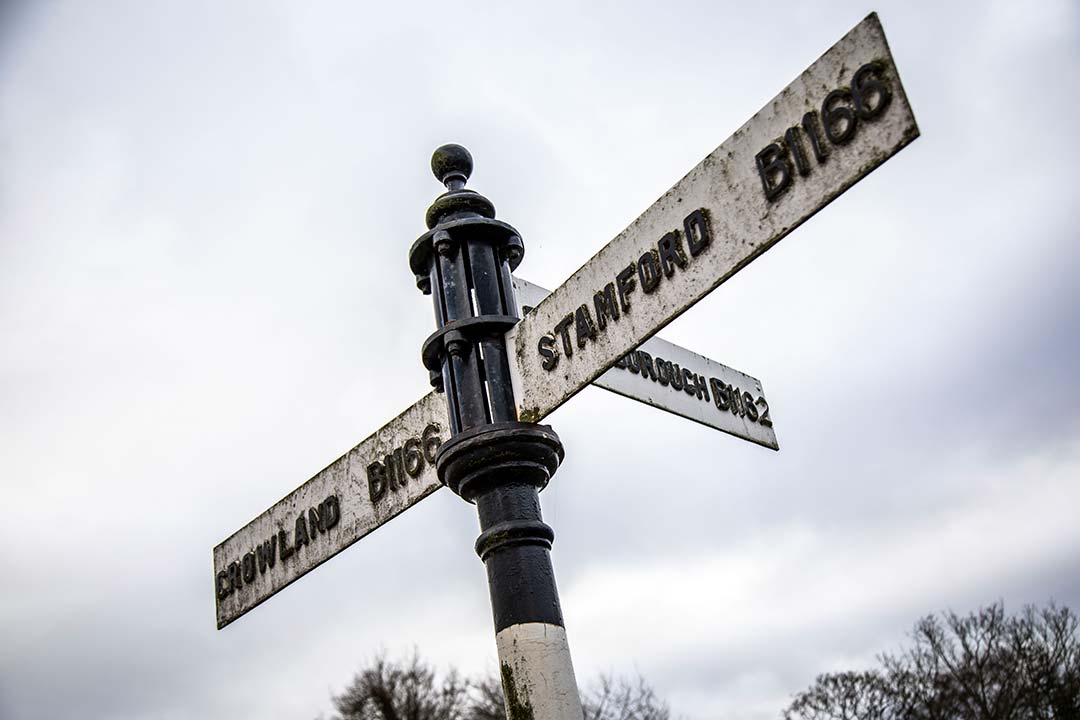
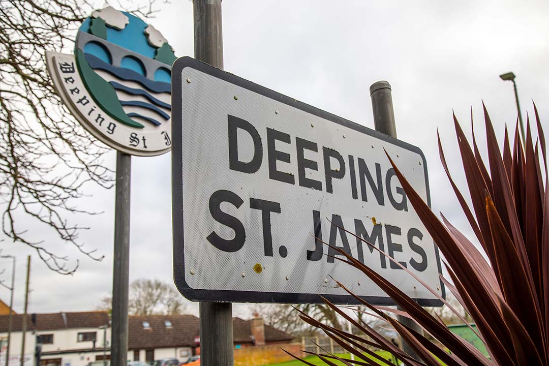
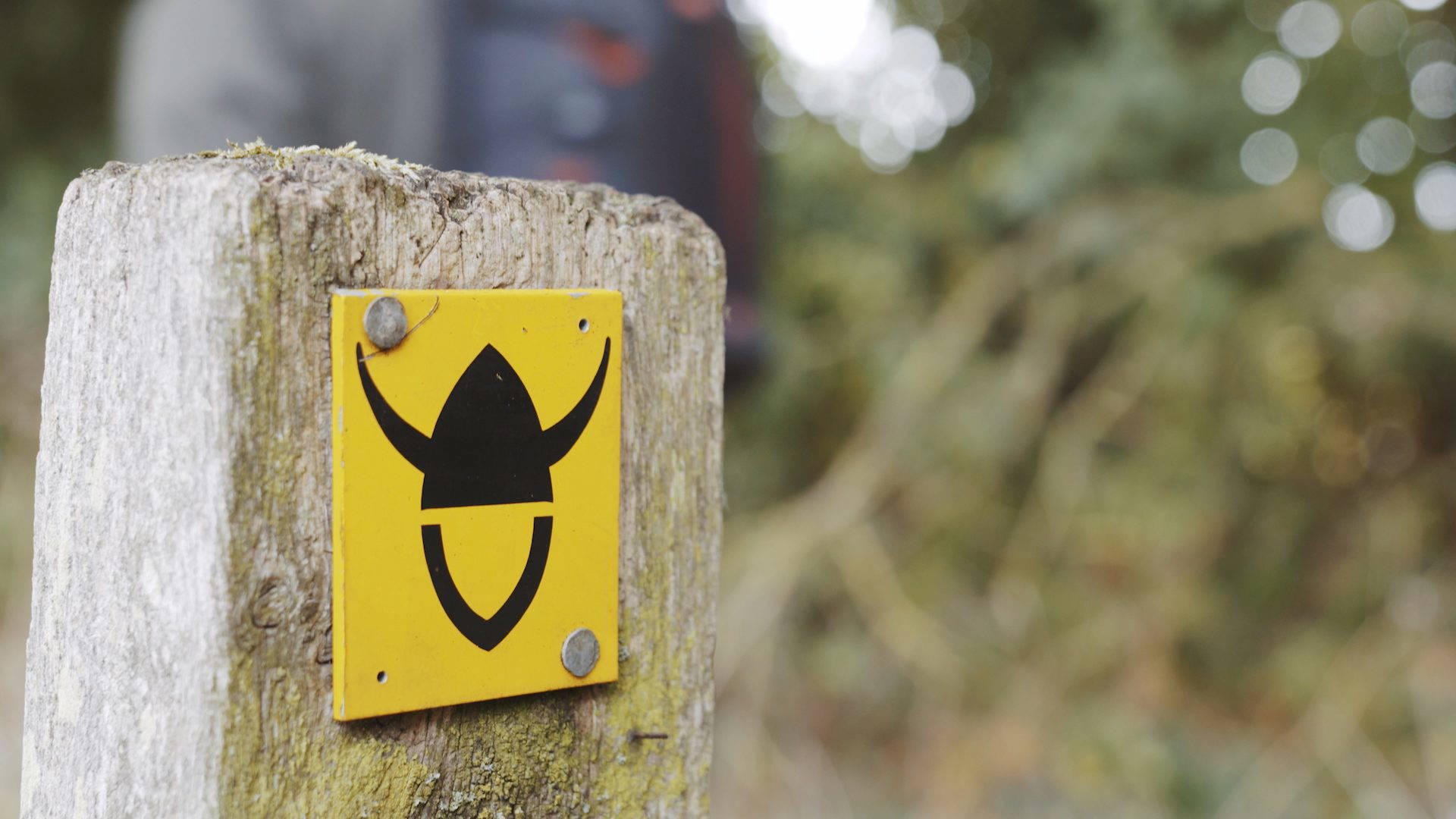
Viking Way Sign
To walk the trail in South Kesteven you would need to head to Marston, the starting point is Stonepit Lane, walking towards Long Bennington and then onto Woolsthorpe. Keep an eye out as you can see Belvoir Castle.
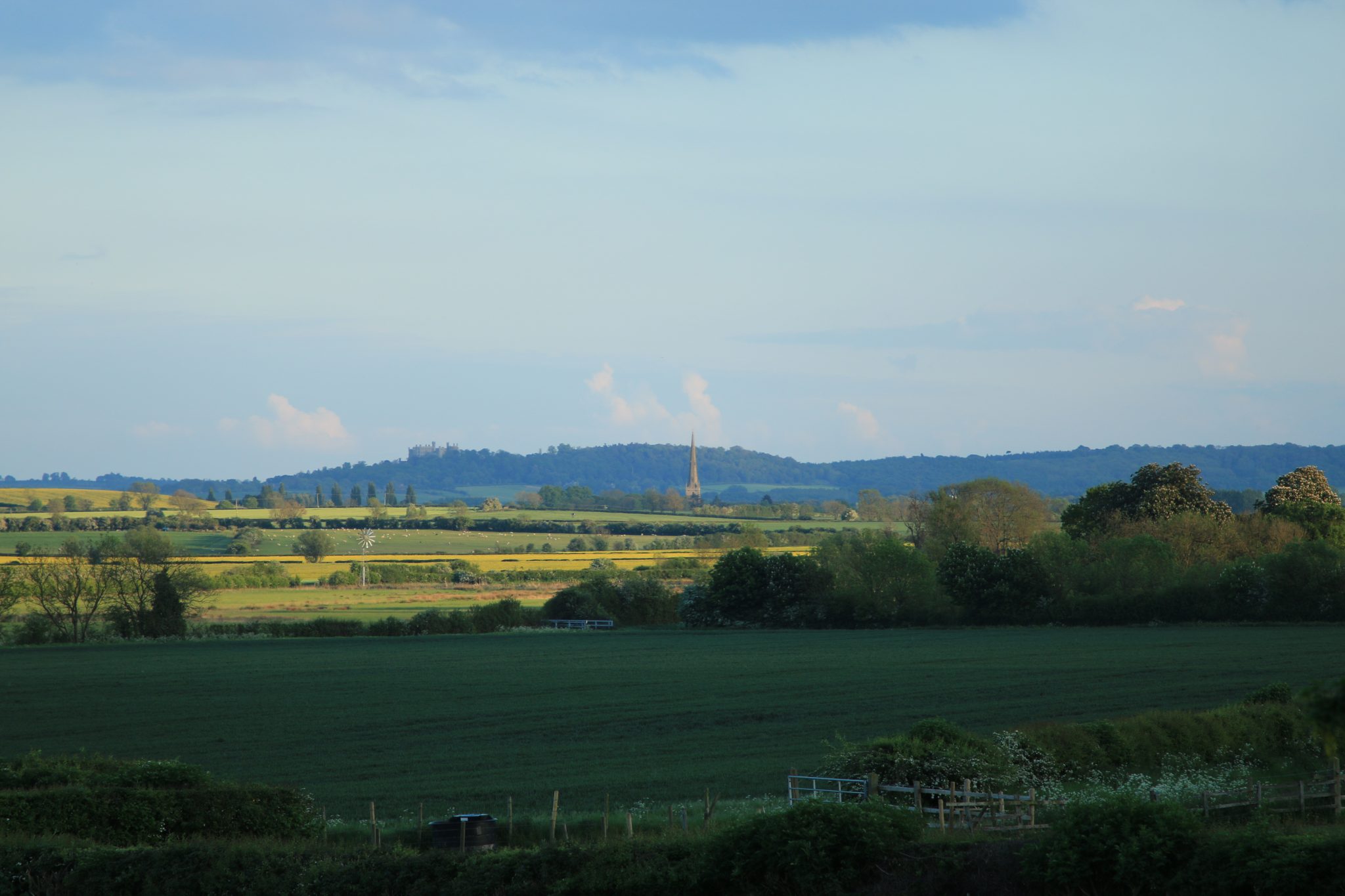
Vale of Belvoir and castle
You can then follow the canal towpath that follows ancient drove roads to Sewstern. Much of the route runs along the boundary between Lincolnshire and Leicestershire. Whilst out walking you can pop into The Duck Pub which is on the route in a picturesque spot.
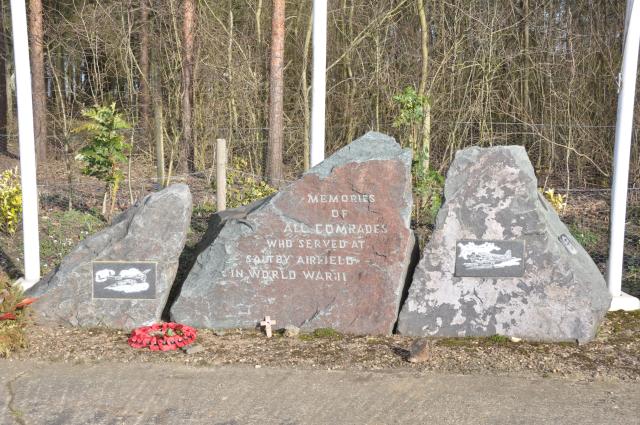
Saltby airfield memorial stones (Brian Riley)
You will reach Saltby airfield which was opened as a military airfield in 1941 and is also on the South Kesteven District Council trail, Soldiers from the Sky: https://www.soldiersfromthesky.co.uk/
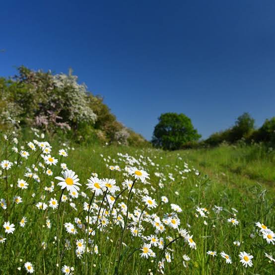
The Drift
Another point of interest on the route is the Drift. The Drift is an ancient track way. In places it forms the border between Lincolnshire and Leicestershire. The section between the A607 road and Saltby Airfield is designated a Site of Special Scientific Interest (SSSI) as it is one of the best examples of limestone grassland in Lincolnshire. It is a carpet of colourful wildflowers in the summer months.
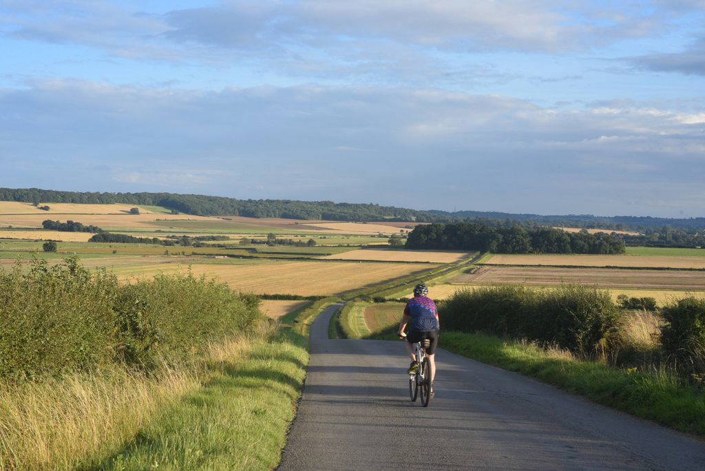
Viking Way near Carlton Scroop
This last section of the Viking Way is through Leicestershire and Rutland. It takes in several beautiful stone villages before following the shore of Rutland Water to reach the county town of Oakham.
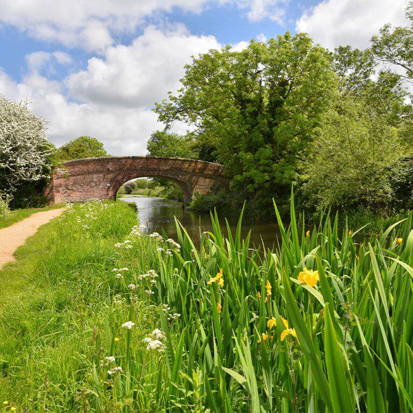
Grantham Canal
To learn more about the Viking Way including detailed instructions and maps, visit: https://www.visitlincolnshire.com/things-to-do/viking-way/